West Maui Loop (Advanced) – Maui Bike Routes

West Maui Loop (Advanced) – Maui Bike Routes
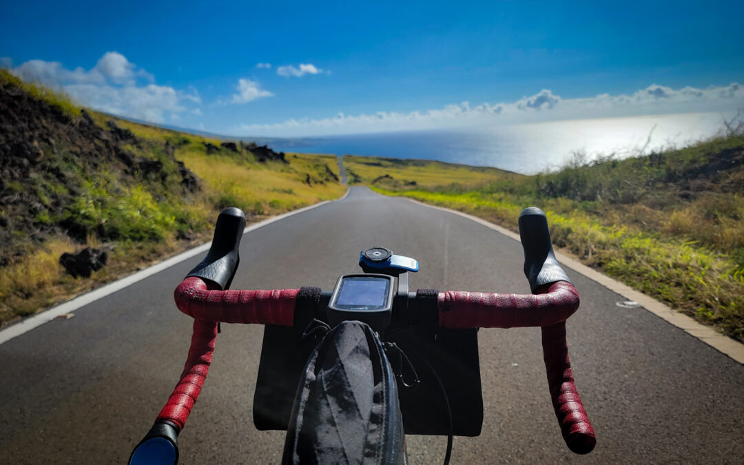
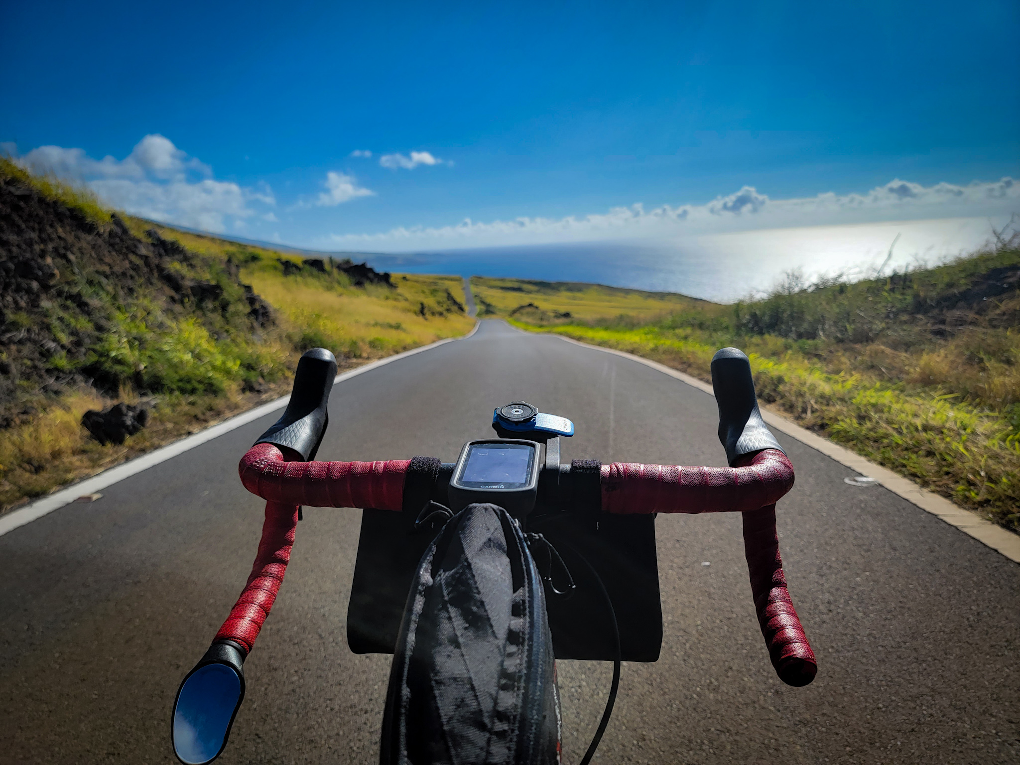
Photograph by Conor O'Brian

West Maui Loop Cycling – Advanced

60 miles, 4,400’ elevation gain

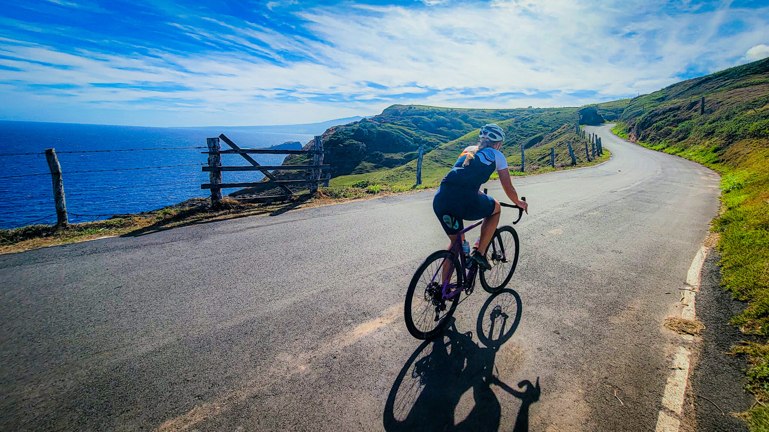
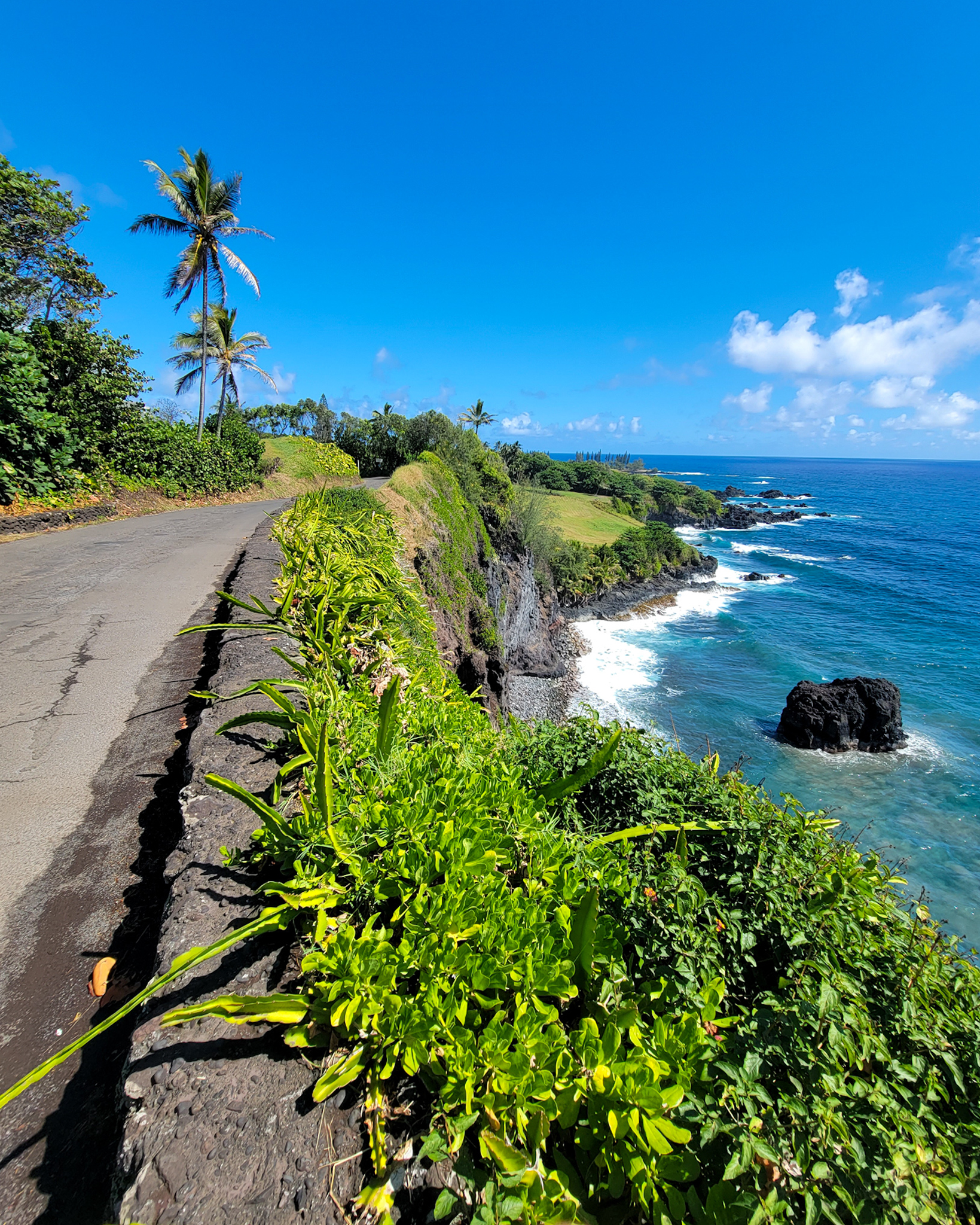
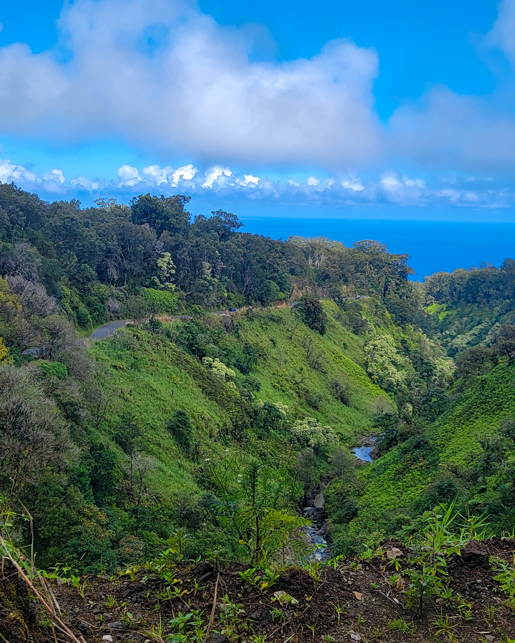
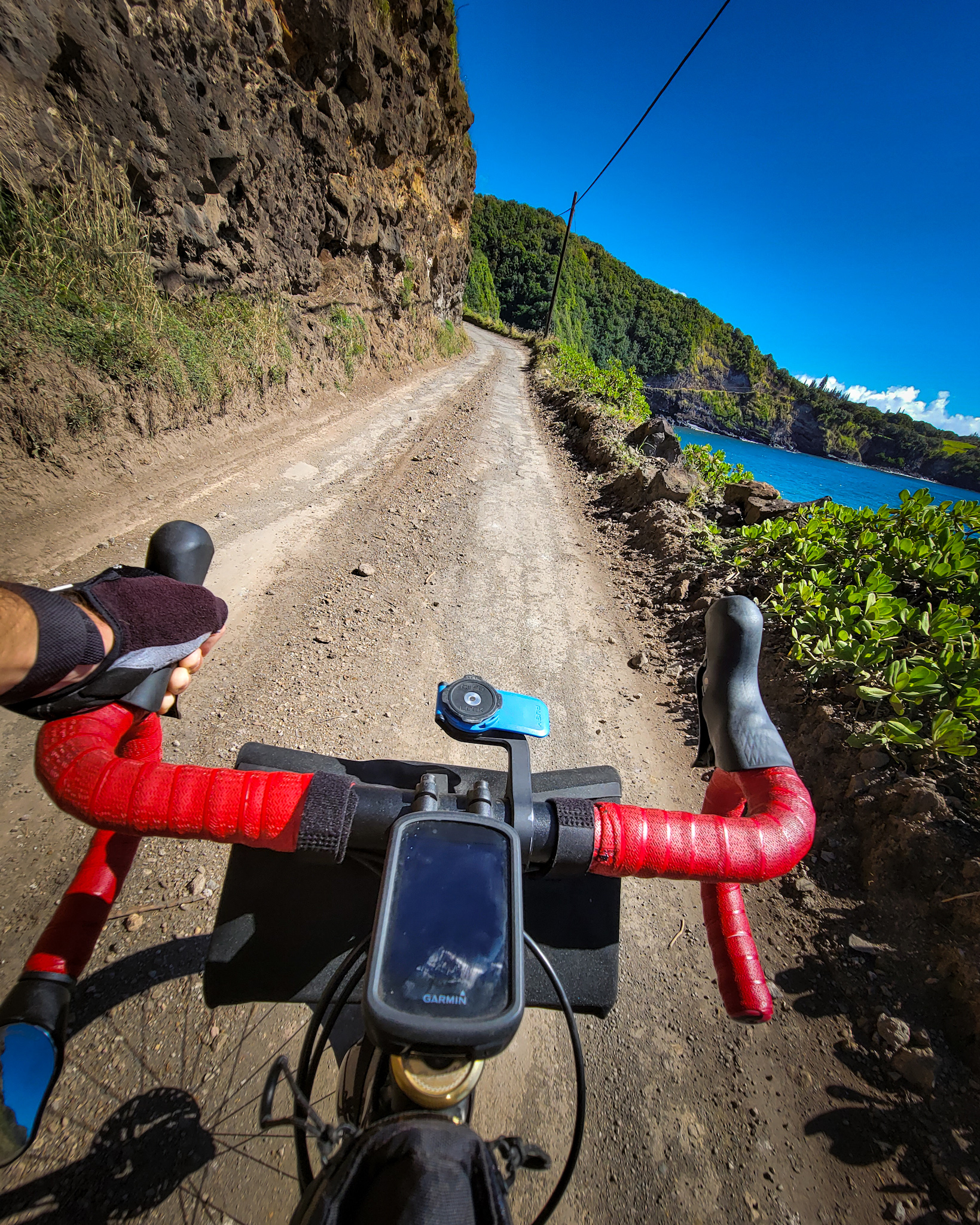
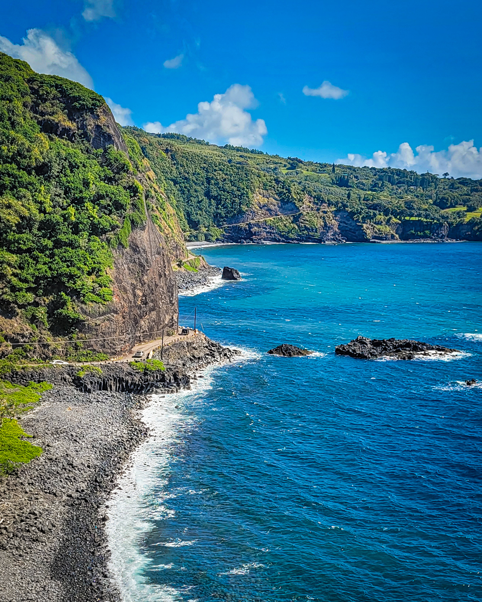
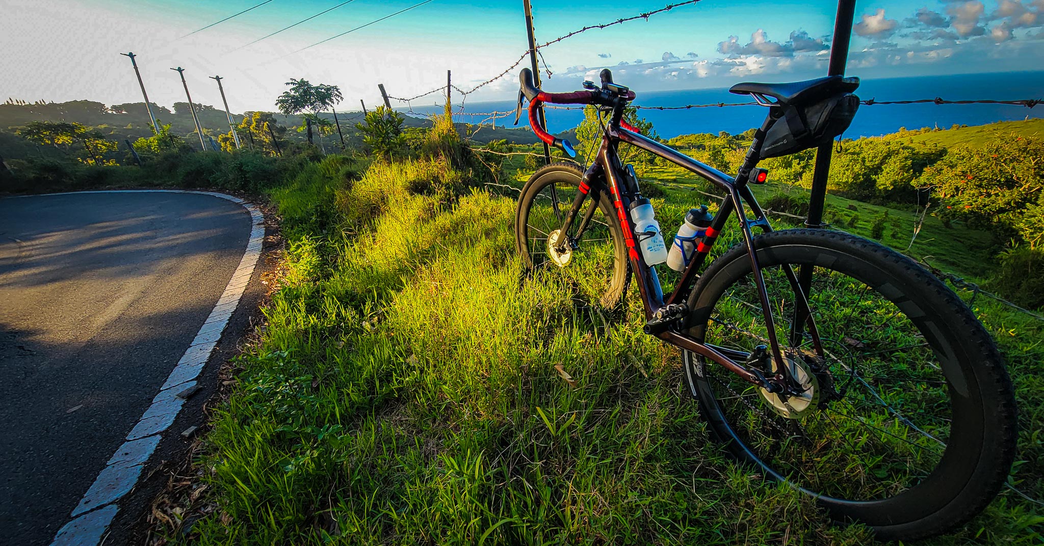
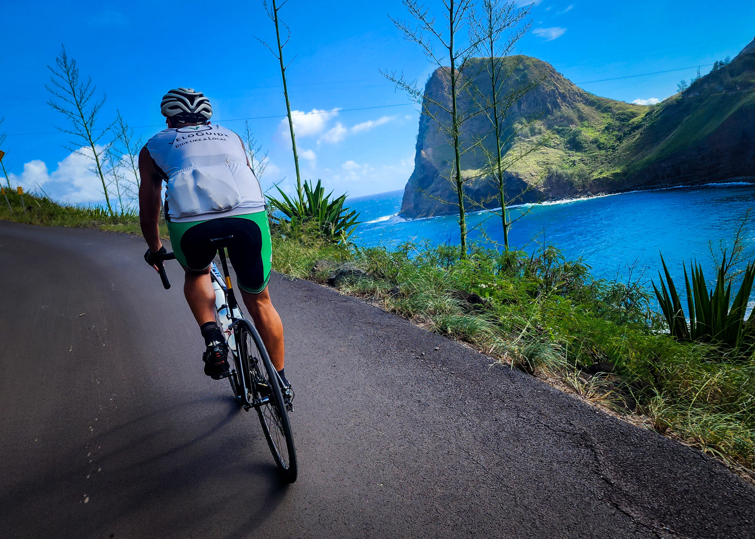
Circumnavigate the West Maui Mountains! Hug the coastline as you round the western side of the island. Stop for a bite to eat in either Lahaina, Napili, or Kaanapali before the real adventure begins as you round the northern tip of the loop and head back eastward. Sweeping views of the Pacific beckon around almost every turn as you climb up and down the cliffs of West Maui. That said, the road is incredibly narrow at times (single lane!), and there are countless blind turns. Take it slow, soak it in, and stay alert!

Our RideWithGPS route below follows the loop in a clockwise direction. Our route description is based on following the loop this way.

Scroll to the end of this blog post to find a counterclockwise RideWithGPS route!

What bike will I ride on Maui?

Planning a cycling trip to Maui? The idyllic island is an excellent cycling destination for cyclists, with a number of world-class road routes and a couple of mountain bike trail networks. Check out some details on how to bring your bike with you, or consider renting a bike from us. 

Here at Maui Sunriders, we offer a fleet of rental bikes on Maui. Maui Sunriders is your destination for high-end road bikes, full suspensions, hardtails, e-bikes, 3-speeds, or single-speeds. Our top-notch staff of cycling enthusiasts will be excited to help you find the right bike for your adventure (at either of our locations...Paia, Kihei, or Lahaina!).

Where to Start Your West Maui Bike Loop:

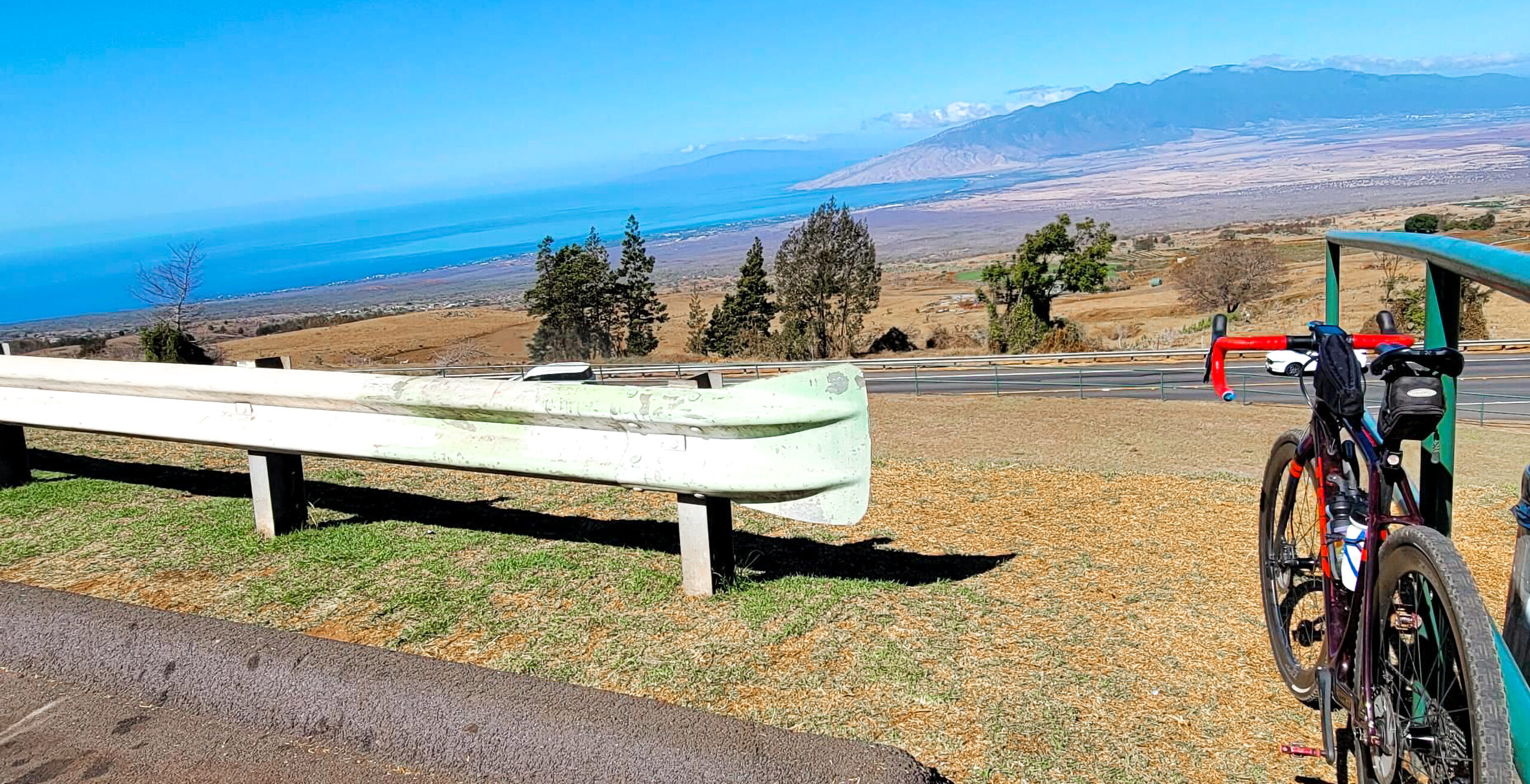
We recommend the big parking lot at Foodland (marked on our map), as it’s relatively centrally located. Assuming you start there, you’ll start the ride with a long, gentle descent toward Maalaea. You’ll then round the turn and navigate gentle rollers for a few miles as you push on toward Lahaina. If you’re here in the winter months, be sure to stop at McGregor Point Lookout (mile 6.2). Seeing whales in the bay is almost a guaruntee!

For the first ~30 miles of this loop, you’ll be riding along a busy highway. The shoulder is wide and the road is flat (you may even have a tailwind!), but stay alert.
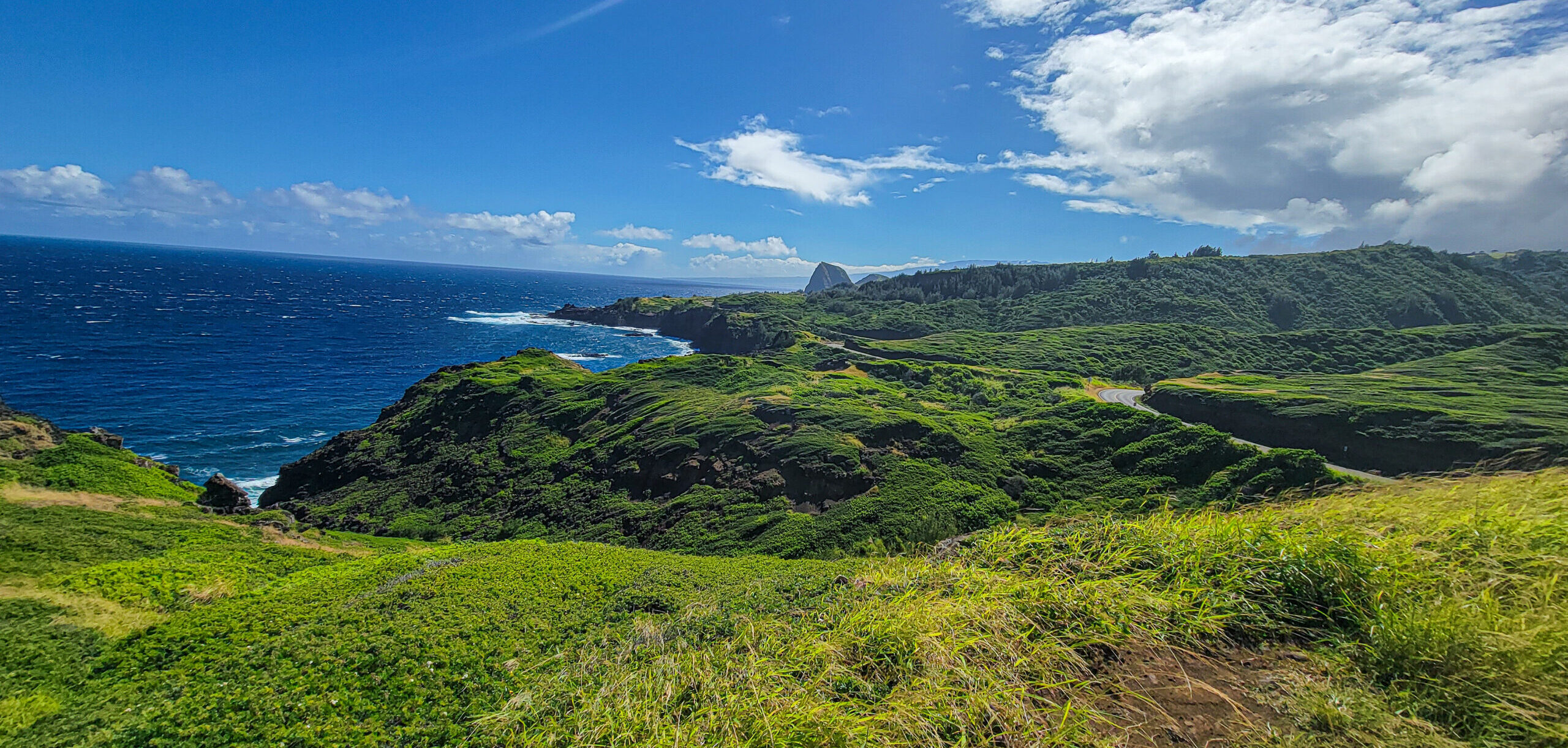
West Maui Loop

One of The Best Stretches Of The West Maui Loop

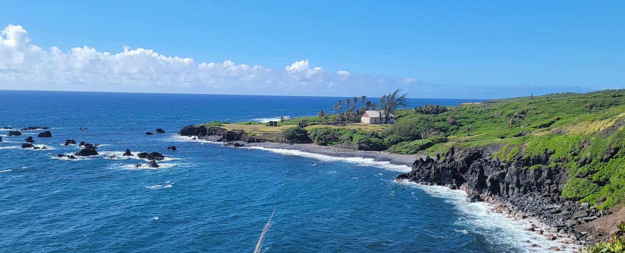
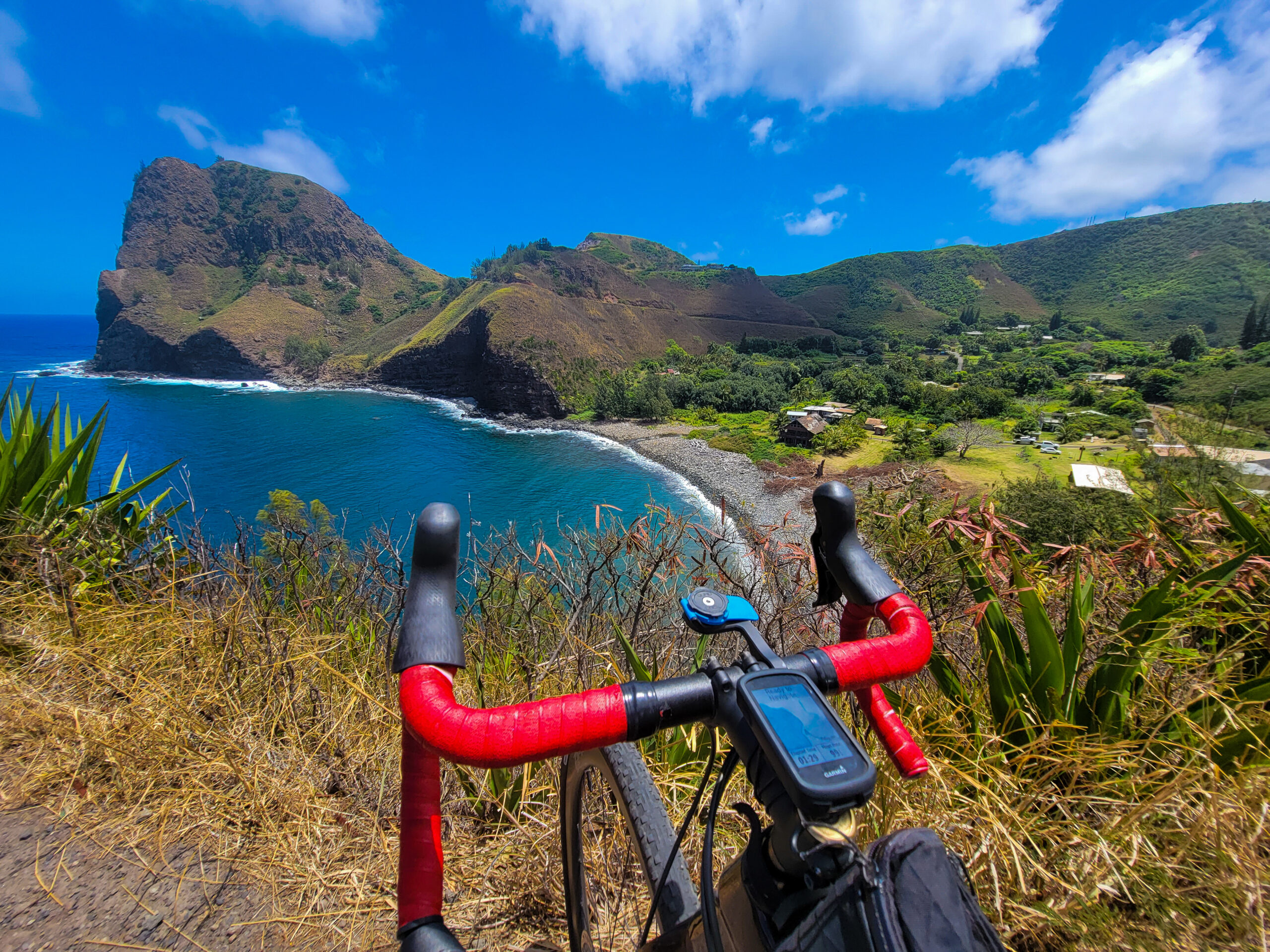
As you pass through Kapalua, the road will narrow…the adventure is beginning! Continue on to bob and weave your way along the northwest corner of the island. Up and down, up and down…almost all the day’s climbing happens in this upcoming 20-mile stretch. The coastal landscape on this stretch of remote road will take your breath away!

At mile 43, you’ll descend into the small village of Kahakuloa. Be sure to stop at Lorraine’s for a piece of her famous banana bread, and a refill of water. When ready, saddle up for your biggest climb of the day – 1,200’ over 5 miles up and over a couple of ridges. You’ll be rewarded with a long final descent back into Wailuku. Plenty of great spots to grab a bite to eat downtown as you wrap up the loop of a lifetime!
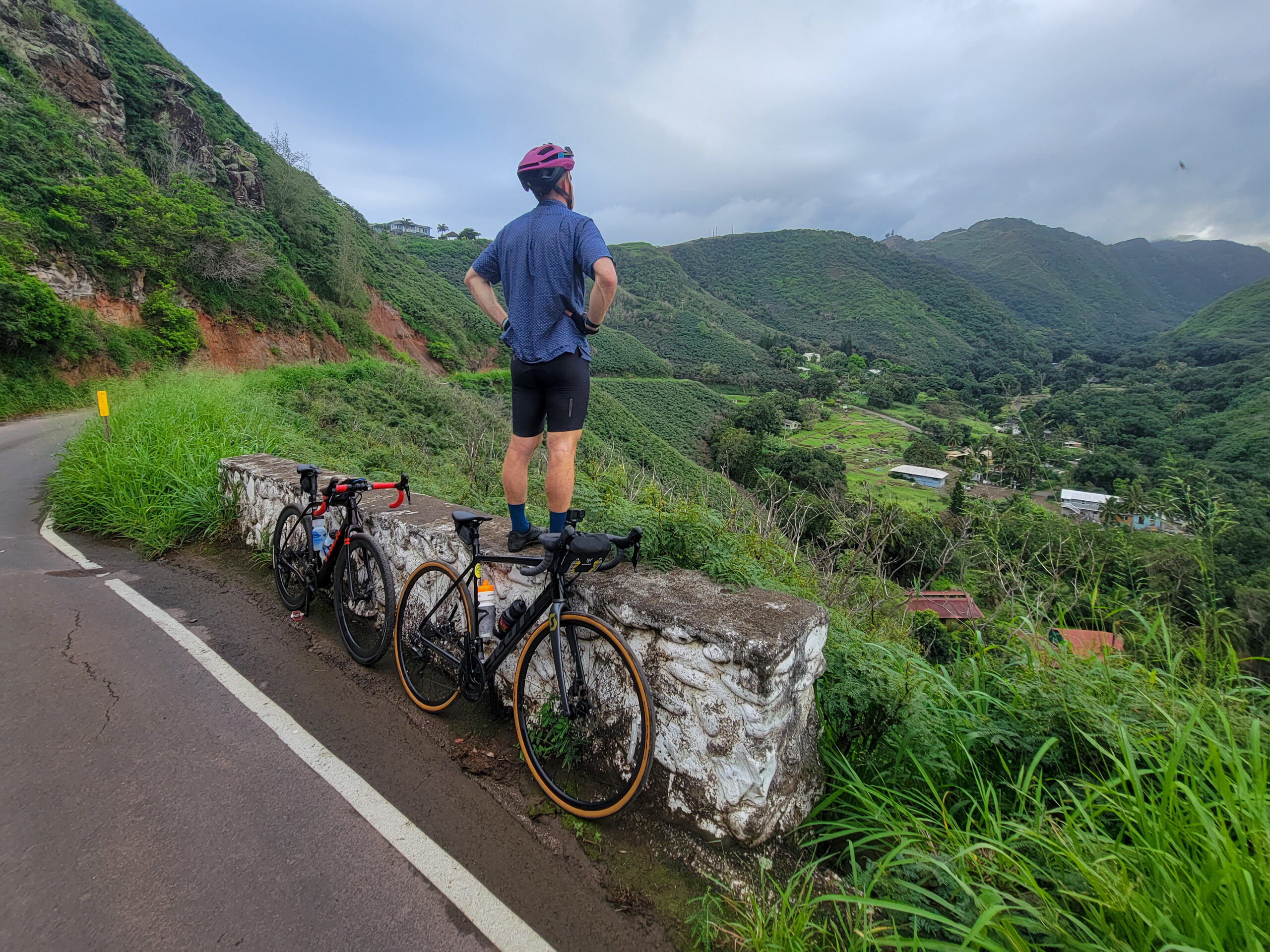
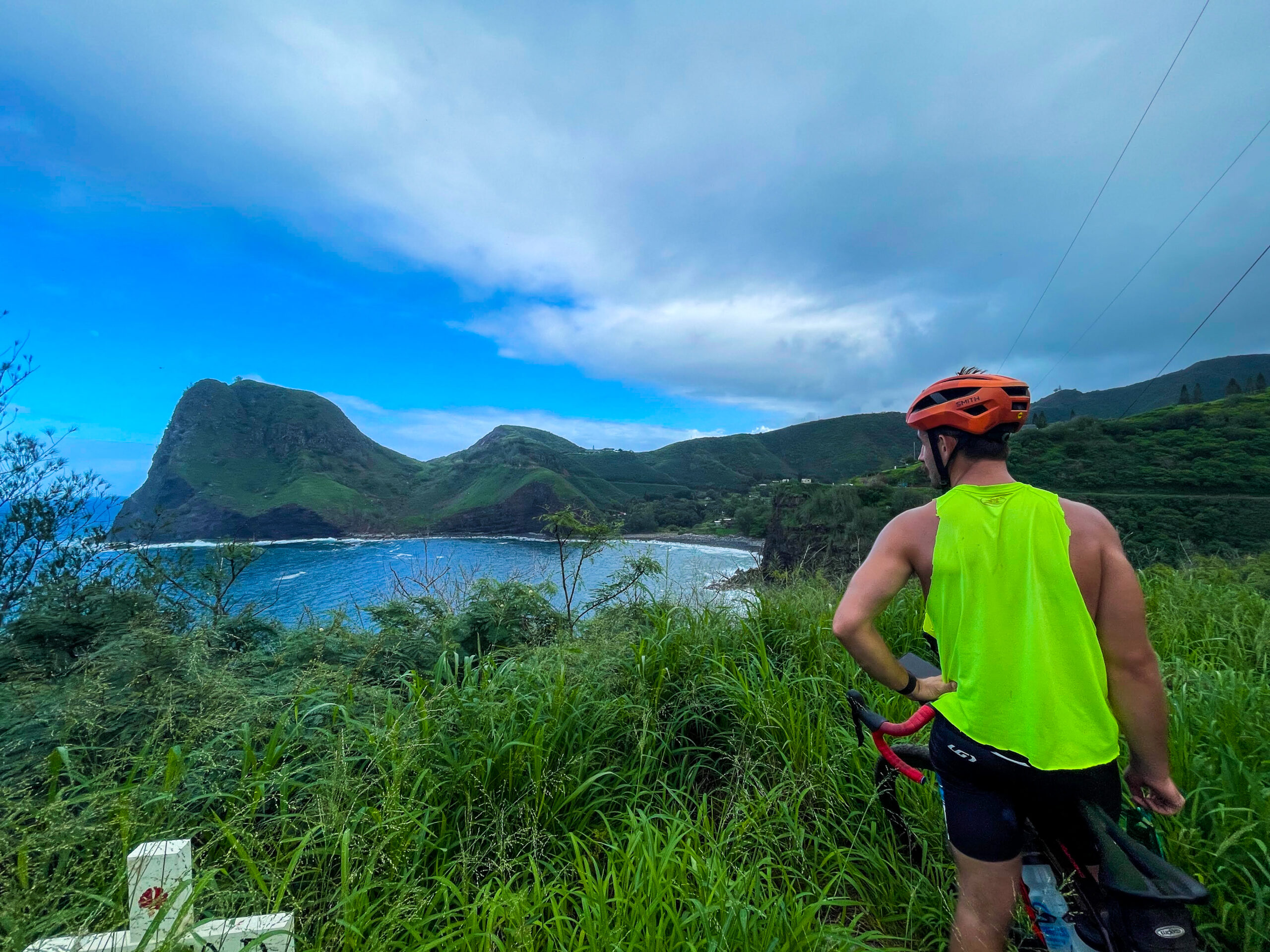
West Maui Loop
West Maui Loop
Conor O'Brian

Conor O'Brian

Maui Sunriders contributing writer, photographer, route builder, and road cycling guide.
Author: Conor O'BrianMaui Sunriders contributing writer, photographer, route builder, and road cycling guide.
Conor is an avid bike rider, racer, adventurer, photographer, and graphic artist who spends his winters working for MSBC
Follow his rides on Strava!

Need a bike?

We have a full rental fleet of carbon and aluminum road bikes, as well as e-road bikes!
East Maui Loop (Expert) – Maui Bike Routes

East Maui Loop (Expert) – Maui Bike Routes

Maui Sunriders Upcountry Bike Tour

Cycling the East Maui Loop (Expert)

106 miles, 10,500’ elevation gain

The East Maui Loop is made up of one hundred and six miles, 10,000+ feet of climbing,  617 hairpin turns, and 59 one-lane bridges makes one full circumnavigation of the imposing Haleakala volcano!

The East Maui Loop – world-class in every sense – should only be attempted by highly experienced road cyclists. Climbs are steep and frequent, roads narrow and windy, and traffic volume can be high, particularly on the north side of the loop. That said, this is one of the most spectacularly beautiful rides we have ever experienced. Not just on this island, but anywhere. If you are a highly experienced road cyclist looking for the ride of a lifetime, this should top your list!

Our RideWithGPS route below follows the loop in a counterclockwise direction. The route description that follows is based on following the loop this way.

Scroll to the end of this blog post to find a clockwise RideWithGPS route!

What bike will I ride on Maui?

Planning a cycling trip to Maui? The idyllic island is an excellent cycling destination for cyclists, with a number of world-class road routes and a couple of mountain bike trail networks. Check out some details on how to bring your bike with you, or consider renting a bike from us. 

Here at Maui Sunriders, we offer a fleet of rental bikes on Maui. Maui Sunriders is your destination for high-end road bikes, full suspensions, hardtails, e-bikes, 3-speeds, or single-speeds. Our top-notch staff of cycling enthusiasts will be excited to help you find the right bike for your adventure (at either of our locations...Paia, Kihei, or Lahaina!).

EAST MAUI LOOP: WARM UP YOUR CLIMBING LEGS

We like to start this route right by our shop in Paia. Immediately, you’re faced with a 3,000’ climb up toward Kula. At about 7 miles in, you’ll pass through the cowboy town of Makawao. Turn right at the T intersection. Enjoy a brief reprieve from the uphill gradient as you follow Makawao Ave and connect to the Kula Highway. There, turn left to continue your ascent. Either stick to the Kula highway, or, at mile 11.5, turn left onto Lower Kula road for a slightly steeper (but quieter and more scenic!) two miles that run parallel to the highway.

Taking the Lower Kula Rd side quest, you’ll pop back out onto the highway after two miles. If desired, you can jump right back onto Lower Kula Rd by turning left at mile 13.7. Like before, this road will reconnect with the Kula highway at Harold W Rice Memorial Park – an excellent snack stop & photo op. The Park is the peak of your longest climb of the day – enjoy the views of the island!

Enjoy a well-earned descent!

Continuing along the Kula Highway, start your long, rolling descent back to sea level. You’ll pass Grandma’s Coffeehouse and the Ulupalakua Ranch Store over the first 8 miles of the descent. These are the last opportunities for refueling before the town of Hana (mile ~62). Check store hours and plan ahead!

After passing Maui Wine and the Ulupalakua Ranch Store (mile ~25), the road begins to narrow. Traffic volume drops dramatically, and the centerline will disappear. The real adventure is about to begin! You are entering the vast, dry backside of Haleakala Volcano. The road is smooth (mostly!), the views are epic and endless, and the turns, are tight. You’ll hit sea level around mile 40 and navigate rollers for the next 20 miles or so until Hana.

East Maui Loop Cycling Tours | Photograph by Conor O'Brian

EAST MAUI LOOP PAVEMENT QUALITY DEGRADES (MILE 45-50)

Pitches are steep, the road is bumpy, potholes are frequent, and turns are tight. This is the most remote section of your day in regards to distance to food, water, and medical attention. Stay alert! While it will be bumpy, confident riders on road bikes can handle the sketchy terrain.

When you reach good quality pavement again, you’re in the final stretch toward Hana.  You’ll pass a couple of fruit stands, as well as the turn to Charles Lindbergh’s grave (mile ~51). The road continues to roll up and down alongside the ocean, and you’ll begin to turn due north as you hit the easternmost end of Maui. Be sure to stop for some food in Hana – there’s a general store, a couple of restaurants, and food trucks!

Fuel up in Hana, and prep for part two!

Once refueled and ready for part two, saddle up and continue along the Hana highway. From here, it’s about 4,200’ of climbing over 44 miles back to Paia. Stay alert – this stretch of road can be busy with lines of cars backed up behind one another on the narrow road.

If you thought the twists, turns, and rolling road that characterized the backside of Haleakala were gnarly, prepare yourself for this second half! While the road is similar, the geography in which you now find yourself is entirely different. In sharp contrast to the south side of the volcano, the north side of Haleakala is green, lush, and dense with vegetation.

East Maui Cycling Loop | Photograph by Conor O'Brian

FINISHING THE EAST MAUI LOOP

You’ll climb out of Hana (sea level) back up to 1,200’ or so over the first 11 or 12 miles of your return journey. Along the way, you’ll pass a number of roadside food and drink options – be sure to try some banana bread. Hana Farms is our favorite! Around mile 75, you’ll embark on a descent, steep at times, for 4 or 5 miles before the rollers return.

As you ride westward, keep your eyes to your left to catch glimpses of the dozens of waterfalls that cascade off the volcano toward the Pacific. A couple of waterfalls have swimming holes close enough to the road for a quick dip!

As you approach Twin Falls at mile 95, you’ll feel that you’re returning to civilization. The rollers continue for a few miles, but it’s a net descent from here back to Paia along the Hana highway. Congrats on wrapping up a bike ride for the ages!

Which direction should I ride?


We feel it’s better to ride this loop in the counterclockwise direction, for a couple of reasons:

REASON 1

Riding counterclockwise means you tackle the longest climb of the day right off the bat, instead of starting a 3,000’ climb 70 miles into your day!

REASON 2

You’ll start your return to Paia from Hana in the early to mid-afternoon. At that time of day, most traffic on the road is moving with you (back to Paia) instead of coming at you (toward Hana). Slightly reduces the hazard of all those hairpin turns.

REASON 3

The eastern tradewinds that Maui is famous for will likely only be a light headwind as you work your way toward Hana along the backside of Haleakala in the morning, and will then be working with you in the afternoon as you return to Paia.

Conor O'Brian

Conor O'Brian

Maui Sunriders contributing writer, photographer, route builder, and road cycling guide.

Author: Conor O'BrianMaui Sunriders contributing writer, photographer, route builder, and road cycling guide.
Conor is an avid bike rider, racer, adventurer, photographer, and graphic artist who spends his winters working for MSBC
Follow his rides on Strava!

Need a bike?

We have a full rental fleet of carbon and aluminum road bikes, as well as e-road bikes!
Climbing Haleakala Volcano – by Bike!

Climbing Haleakala Volcano – by Bike!

bike climb haleakala

When you visit Maui, there are certain activities you simply cannot miss: going to a luau, traversing the Road to Hana, and snorkeling. Another can’t-miss destination? Haleakala Volcano, of course!

Haleakala is the East Maui Volcano.  This massive shield volcano has formed over 75% of Maui. The rest of the island was formed by Mauna Kahalawai, another volcano. In the traditional Hawaiian language, Haleakala means “House of the Sun.” In Hawaiian legends, the demigod Maui stood on top of the volcano at sunset and lassoed the sun. Legend has it that this makes days last longer in the summer. 

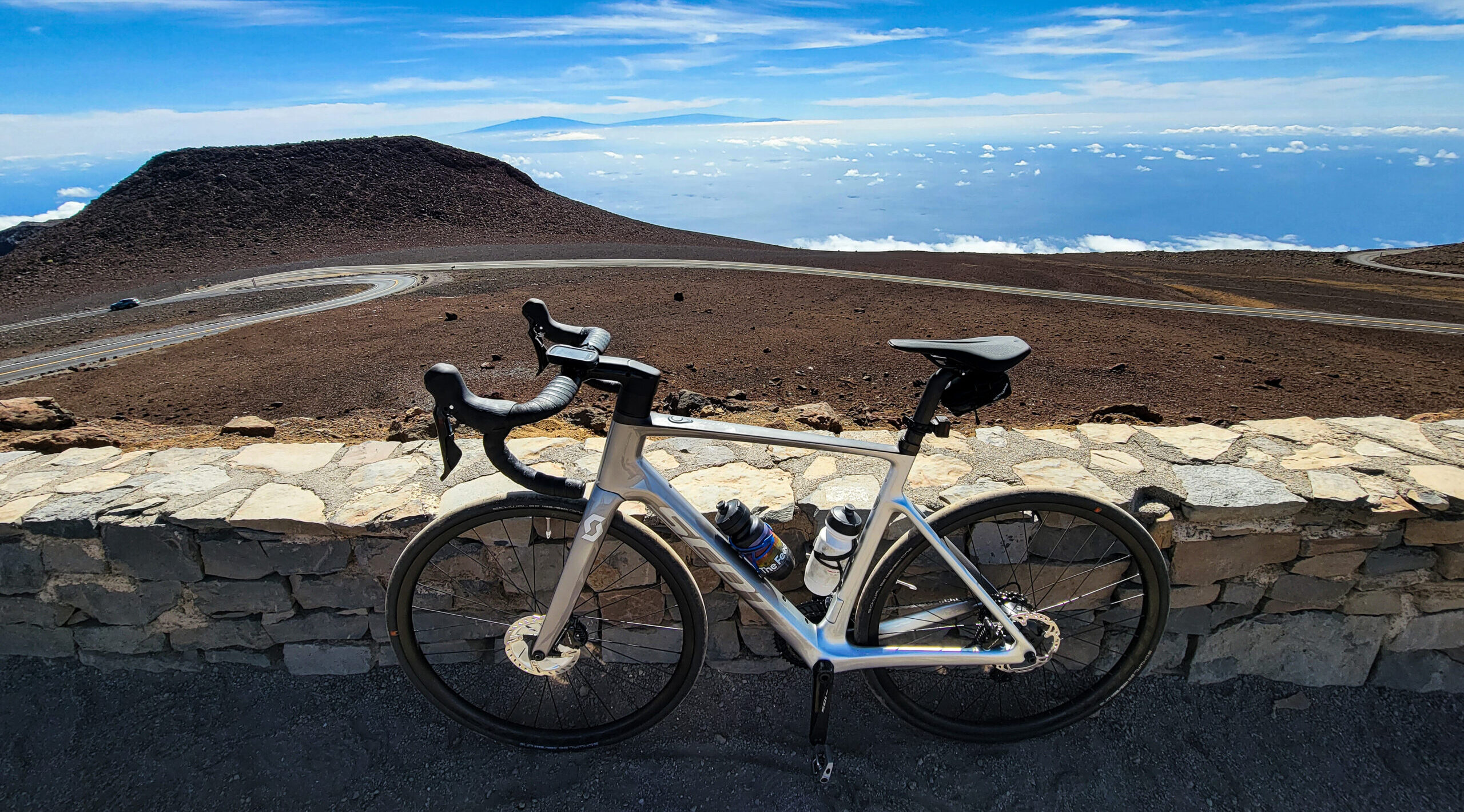
Peaking at 10,023′ above sea level, Haleakala is extra close to the sun. This volcano is as scenic as it is massive with views that stretch as far as the eye can see. When visiting Haleakala, many people find bicycling to be the most efficient way to explore the volcano while getting to enjoy the beautiful scenery. This may lead you to wonder, how long does it take to bike up Haleakala? How long does it take to bike down Haleakala? And which one should you do?

Preparing to Bike Up Haleakala

First, come to visit us at one of our shop locations in either Paia or Kihei. If you’re renting one of our high-end carbon or aluminum road bikes, our team will help get you sorted.

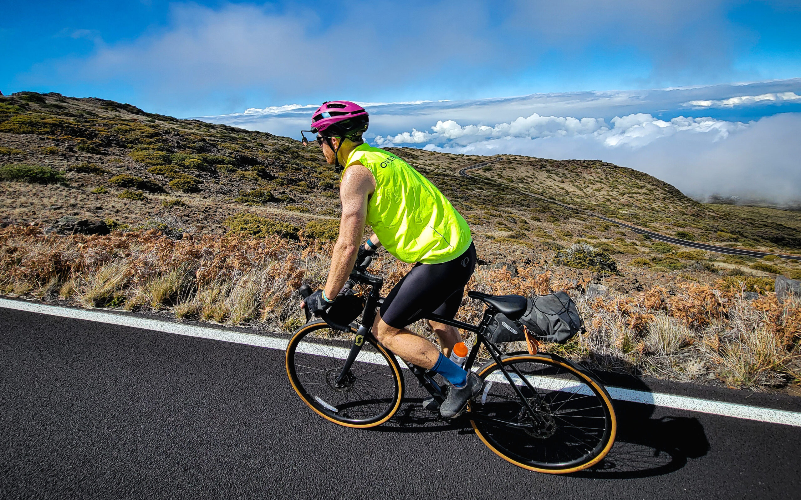
Weather is unpredictable and changes quickly on Haleakala. While you may complete the ascent in the sun, you may descend through a rainstorm in the clouds. It’s best to be overprepared!

We suggest all cyclists bring along the following:

  • lightweight, windproof, waterproof jacket
  • arm warmers
  • leg warmers,
  • full finger gloves
  • buff
  • 2-3 water bottles
  • plenty of food/electrolytes
  • credit card ($15 per cyclist to enter the National Park…credit cards only!)

There are a couple of opportunities to refuel along the 36-mile paved climb. The first is 7 miles (and 1,700′) into your climb, when you’ll pass through the town of Makawao. There is a general store that is open early for food and water.

From there, your next option for water and food is at the Kula Lodge in Kula Marketplace. You’ll pass the Marketplace just over 13 miles and 3,200′ into your climb. Make a note, the Marketplace opens at 8am on weekdays, and 9am on weekends. Plan accordingly! If you’re starting early, you may pass the Marketplace before they open.

Your next (and final!) stop for water is inside Haleakala National Park, at the Parks’ visitors center. You’ll get to the visitors center 25 miles into your climb, at 7,100′. There are bathrooms and a water fountain, but no food available!

It is critical to note that while there is a bathroom at the summit, there is NO water or food available!

Biking Up Haleakala 

Cycling up Haleakala is considered one of the most difficult climbs in the world. It’s the #2 highest-rated climb in the United States – behind only Mauna Kea on the Big Island – and #14 in the world. On average, Haleakala has a 5% grade, although there are a couple of short pitches that are steeper. The steepest grade is about 12%…and comes in the final half-mile to the observation area at the summit!

Biking up Haleakala is a very exhausting and exerting experience and is only meant for advanced bicyclists. That said, if you’re up for it, it will be one of the most amazing rides of your life. Most people who return their rentals to our shop say it’s the highlight of their trip and one of the best bike rides of their life. 

In summary, the climb is 36 miles long (all paved!) and can take four to six hours for advanced bicyclists, sometimes longer if you stop along the way. The average professional cyclist can do it in about 3 hours…or less!

Haleakala Summit

Biking Down Haleakala

Your adventure isn’t quite over once you get to Haleakala’s summit! While descending Haleakala is less physically strenuous than the climb, it can take more mental focus. From the summit, it’s a solid hour to 1 ½ hours of continuous high-speed descending. Make sure to bring enough food and water to sustain you through that long of a descent. 

While this descent can be done in as little as an hour and a half without any stops along the way, we do suggest taking your time. Stop in Kula or Makawao to grab a well-deserved meal!

Self-guided Downhill Tour of Haleakala

If you love the idea of cycling to the top of Haleakala, but don’t have the fitness (or time!) to climb the volcano from sea level, don’t worry – we have a solution for you!

With our self-guided Haleakala downhill bike tour, you can be driven up to our staging area (6,500′), and ascend from there. Make note – it’s still a 12-mile, 3,500′ climb to the top, and then a 36-mile descent back to our shop in Paia. This option is only recommended for advanced cyclists. 

When it comes to renting a bike for this hybrid tour option, you have two options.

  1. You can bring your own bike.
  2. You can rent one of our Scott Carbon or Aluminum Road Bikes, or the Scott Hardtail Mountain Bike

Please note – if you opt into this tour option, you are responsible for paying the $15 entry fee (credit card only) for Haleakala National Park. You should also note that while the National Park is very beautiful, you won’t see the dramatic crater views or black lava rock the summit is known for until you’re within just a couple of miles of the summit!

Cycling Haleakala